Every seed tells a story about a landscape.
Bush Maps help Indigenous communities identify and communicate the species, sites, cultural landscapes and restoration priorities that sit within their Country.
By combining ecological knowledge, cultural information and spatial tools, communities can make more informed decisions about how seed is collected, stored, and returned to Country — and tell the story of that Country to the partners they choose to share it with. www.bushmaps.com.au
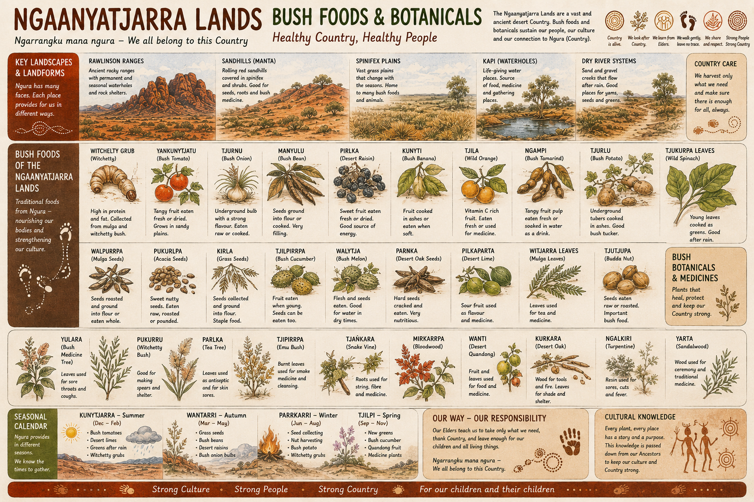
Mapping seed collection — turning Country into shared, governed knowledge.
What Bush Maps Surface
Layers of knowledge — held together under cultural authority.
Seed collection zones
Cultural plant species
Bush food species
Traditional medicines
Ecosystems and habitats
Restoration priorities
Ranger activities
Monitoring sites
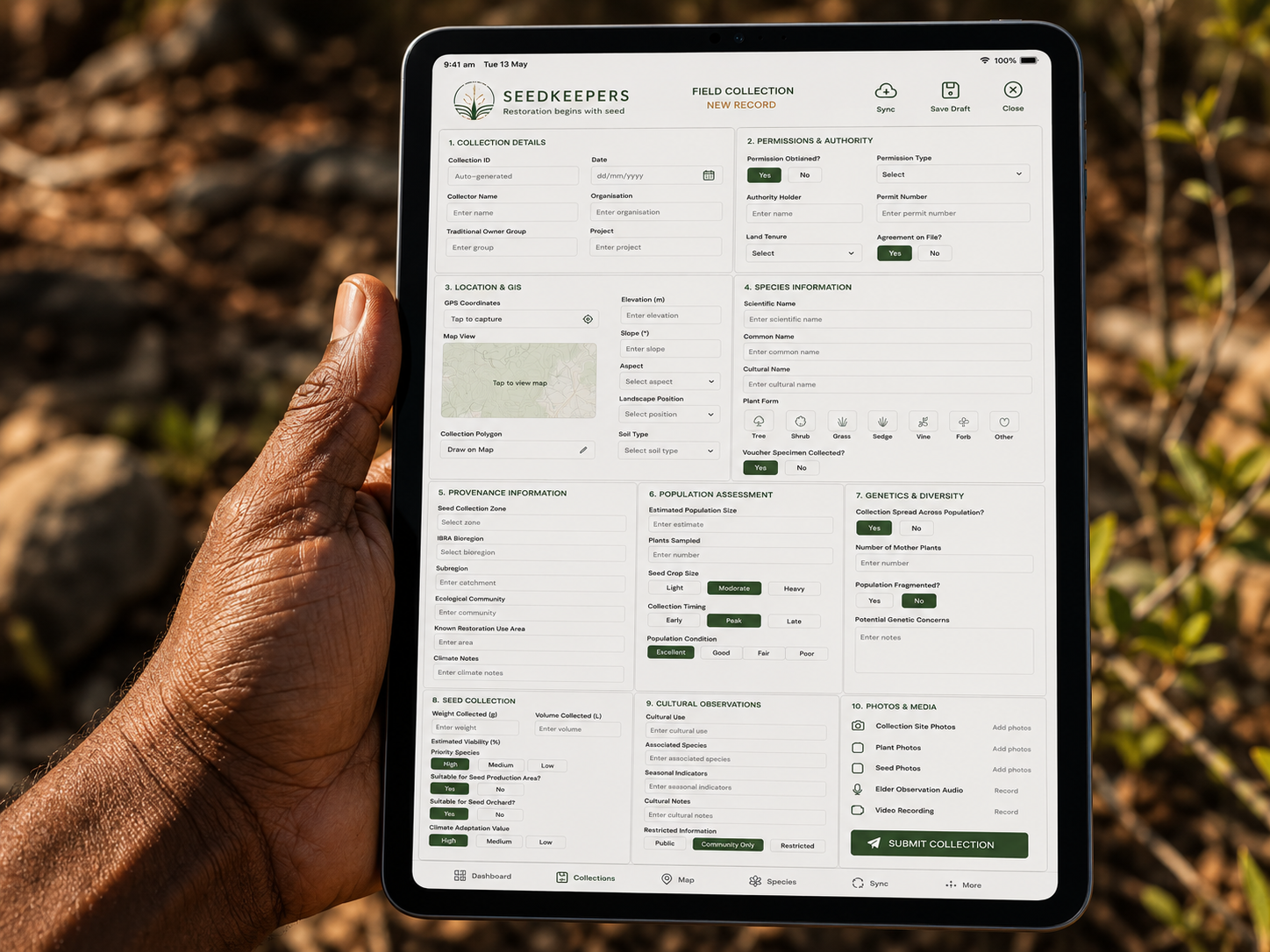
How Communities Use Bush Maps
Planning, education, funding and engagement — built on the community’s own knowledge.
Planning
Seed collection, restoration and ranger activity calendars.
Education
Schools, on-Country trips and intergenerational knowledge transfer.
Funding applications
Grounded, spatial evidence for grants and investment.
Community engagement
Telling the story of Country in the community's own terms.
Bush Maps